NWS Office of Pueblo: Red Flag Warning & High Wind Watch Dec. 14 & 15, 2021
Description: The National Weather Service Office of Pueblo has issued a Fire Weather Watch and High Wind Watch Tuesday evening through Wednesday...

Fire Weather Watch
URGENT - FIRE WEATHER MESSAGE
National Weather Service Pueblo CO
339 PM MST Mon Dec 13 2021
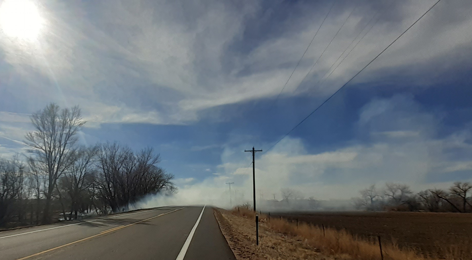
...A Red Flag Warning is now in effect on Tuesday from 10 AM to 6 PM MST for gusty winds and low relative humidity for fire weather zones 233 through 237, which includes eastern Las Animas, Kiowa, Bent, Prowers and Baca Counties...
...A Fire Weather Watch remains in effect for Wednesday morning through Wednesday afternoon for very strong winds and low relative humidity values for fire weather zones 228 through 237, which includes Pueblo, Huerfano, Las Animas, Crowley, Otero, Kiowa, Bent, Prowers and Baca Counties...
COZ228>232-141445- /O.CON.KPUB.FW.A.0028.211215T1700Z-211216T0000Z/ Pueblo County Including Pueblo- Huerfano County Including Walsenburg- Western Las Animas County Including Trinidad and Thatcher- Crowley County Including Ordway- Otero County Including La Junta and Western Comanche Grasslands- 339 PM MST Mon Dec 13 2021
...FIRE WEATHER WATCH REMAINS IN EFFECT FROM WEDNESDAY MORNING THROUGH WEDNESDAY AFTERNOON FOR FIRE WEATHER ZONES 228...229...230...231 AND 232... * Affected Area...Fire Weather Zones 228...229...230...231 and 232.
* Winds...West 40 to 50 mph with gusts up to 75 mph. * Relative Humidity...As low as 16 percent.
* Impacts...Conditions will be favorable for rapid rates of fire growth and spread.
PRECAUTIONARY/PREPAREDNESS ACTIONS...
A Fire Weather Watch means that critical fire weather conditions are forecast to occur. Listen for later forecasts and possible Red Flag Warnings.
High Wind Watch
URGENT - WEATHER MESSAGE
National Weather Service Pueblo CO
310 PM MST Mon Dec 13 2021
COZ086>089-093>099-140615- /O.CON.KPUB.HW.A.0006.211215T1200Z-211216T0000Z/ Pueblo Vicinity/Pueblo County Below 6300 Feet- Walsenburg Vicinity/Upper Huerfano River Basin Below 7500 Feet- Trinidad Vicinity/Western Las Animas County Below 7500 Feet- Crowley County-La Junta Vicinity/Otero County- Eastern Las Animas County-Western Kiowa County- Eastern Kiowa County-Las Animas Vicinity/Bent County- Lamar Vicinity/Prowers County-Springfield Vicinity/Baca County- 310 PM MST Mon Dec 13 2021
...HIGH WIND WATCH REMAINS IN EFFECT FROM LATE TUESDAY NIGHT THROUGH WEDNESDAY AFTERNOON...
* WHAT...Southwest winds 40 to 50 mph with gusts up to 75 mph possible.
* WHERE...The Interstate 25 Corridor from Pueblo County southward to Raton Pass, and all of the southeast plains.
* WHEN...From late Tuesday night through Wednesday afternoon.
* IMPACTS...Damaging winds could blow down trees and power lines.
Widespread power outages are possible.
Travel could be difficult, especially for high profile vehicles.
* ADDITIONAL DETAILS...Areas of blowing dust and significantly reduced visibility will be possible.
PRECAUTIONARY/PREPAREDNESS ACTIONS...
Monitor the latest forecasts and warnings for updates on this situation.
Fasten loose objects or shelter objects in a safe location prior to the onset of winds.
Follow SECO Weather on Facebook...
Follow SECO News on Facebook.
Subscribe to the SECO News YouTube Channel.
SECO Weather Sponsor
.png)


.png)


.png)


.png)


.png)