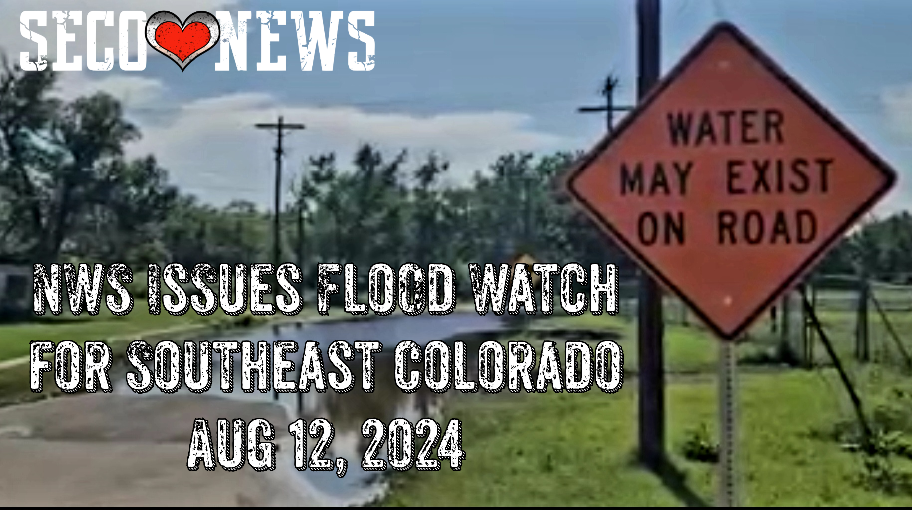
NWS Issues Flood Watch for Southeast Colorado Aug 12, 2024
Description: The National Weather Service Office of Pueblo has Issued the Following Flood Watch for Southeast Colorado until Midnight on August 12, 2024...

Flood Watch National Weather Service Pueblo CO 332 PM MDT Mon Aug 12 2024
Teller County/Rampart Range Above 7500 Feet/Pikes Peak Between 7500 And 11000 Feet-Pikes Peak Above 11000 Feet-Northern El Paso County/Monument Ridge/Rampart Range Below 7500 Feet-Colorado Springs Vicinity/Southern El Paso County/Rampart Range Below 7400 Feet-Pueblo Vicinity/Pueblo County Below 6300 Feet-Crowley County-La Junta Vicinity/Otero County-Western Kiowa County- Eastern Kiowa County-Las Animas Vicinity/Bent County-Lamar Vicinity/Prowers County- Including Peterson Space Force Base, Woodland Park, Pueblo, Pikes Peak, Olney Springs, La Junta, Las Animas, Lamar, Sheridan Lake, Eads, Black Forest, Rocky Ford, Ordway, and Colorado Springs
332 PM MDT Mon Aug 12 2024
...FLOOD WATCH REMAINS IN EFFECT UNTIL MIDNIGHT MDT TONIGHT...
* WHAT...Flash flooding caused by excessive rainfall continues to be possible.
* WHERE...Teller, El Paso, Pueblo, Otero, Crowley, Bent, Kiowa and Prowers counties.
* WHEN...Until midnight MDT tonight.
* IMPACTS...Excessive runoff may result in flooding of rivers, creeks, streams, and other low-lying and flood-prone locations.
* ADDITIONAL DETAILS... - The combination of abundant low level moisture and an upper level disturbance will allow for thunderstorms to produce very heavy rain over the greater east central Colorado region this afternoon and evening. - http://www.weather.gov/safety/flood
PRECAUTIONARY/PREPAREDNESS ACTIONS... You should monitor later forecasts and be prepared to take action should Flash Flood Warnings be issued.
Follow SECO News on Facebook.
Subscribe to the SECO News YouTube Channel.
SECO Weather Sponsor
.png)


.png)


.png)


.png)


.png)