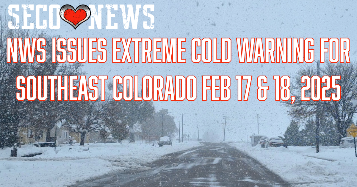
NWS Issues Extreme Cold Warning for SECO Feb 17 & 18, 2025
Description: The National Weather Service Office of Pueblo has Issued the Following Extreme Cold Warning for Feb 17 & 18, 2025...

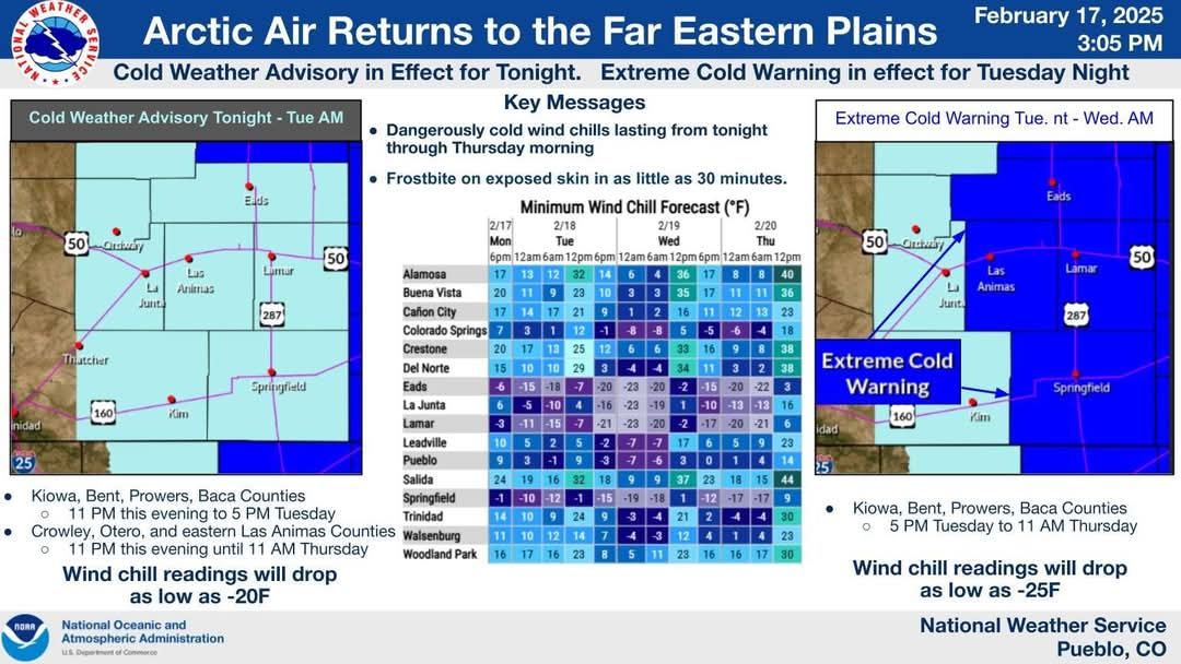
URGENT - WEATHER MESSAGE National Weather Service Pueblo CO 325 PM MST Mon Feb 17 2025
Cold Weather Advisory
Crowley County-La Junta Vicinity/Otero County-Eastern Las Animas County- Including Ordway, Branson, Rocky Ford, Olney Springs, La Junta, and Kim
Extreme Cold Warning
Western Kiowa County-Eastern Kiowa County-Las Animas Vicinity/Bent County-Lamar Vicinity/Prowers County-Springfield Vicinity/Baca County- Including Las Animas, Eads, Springfield, Walsh, Sheridan Lake, and Lamar
325 PM MST Mon Feb 17 2025
...COLD WEATHER ADVISORY REMAINS IN EFFECT FROM 11 PM THIS EVENING TO 5 PM MST TUESDAY...
...EXTREME COLD WARNING REMAINS IN EFFECT FROM 5 PM TUESDAY TO 11 AM MST THURSDAY...
* WHAT...For the Cold Weather Advisory, very cold wind chills as low as 20 below expected. For the Extreme Cold Warning, dangerously cold wind chills as low as 25 below expected.
* WHERE...Kiowa, Bent, Prowers, and Baca Counties.
* WHEN...For the Cold Weather Advisory, from 11 PM this evening to 5 PM MST Tuesday. For the Extreme Cold Warning, from 5 PM Tuesday to 11 AM MST Thursday.
* IMPACTS...The dangerously cold wind chills as low as 25 below zero could cause frostbite on exposed skin in as little as 30 minutes.
PRECAUTIONARY/PREPAREDNESS ACTIONS... Dress in layers including a hat, face mask, and gloves if you must go outside.
Use caution while traveling outside. Wear appropriate clothing, a hat, and gloves.
Follow SECO News on Facebook.
Subscribe to the SECO News YouTube Channel.
Click to Zoom

SECO Weather Sponsor
.png)


.png)


.png)


.png)


.png)